ShipPlotter Data Viewer
Anchorage Radio Observatory - Anchorage, Alaska USA
Geographic coordinates: 61.19928 °N : 149.95652 °W
Home
Return to ShipPlotter Page
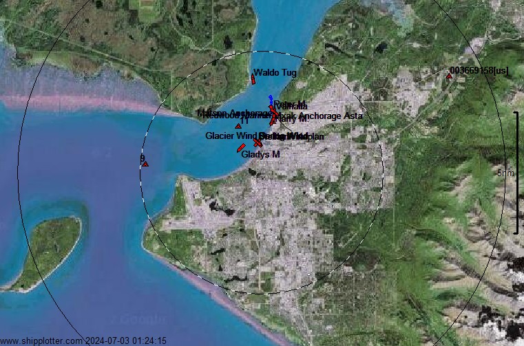
Ship location plots are updated every 2 minutes, and this page automatically reloads the latest plot every 1 minute
The plot time in UTC is shown in the lower-left corner, range rings are 5 and 10 nautical miles (8 and 16 km) from receiver location
Ship location determined by Automatic Identification System (AIS)
Sensor: Icom MXA-5000 AIS Receiver and Collinear Dipole Antenna, Commissioned 1 September, 2011